The Cassier Highway is called the "western route" to Alaska. It's a remote highway, with very few services, no cell phone coverage, and no regular phone service along most of the "highway." Because it's so isolated, and historically in such bad condition, we had heard all kinds of stories about it. The scenery was supposed to be awesome, but the road conditions horrendous.
After hesitating for several weeks, we finally made the decision to go home via the Cassier....and we are glad we did! The scenery was just as beautiful as we had heard, it was very remote and we were virtually driving alone most of the time, and it was in much better condition than we had heard!
Along the way, there were magnificant sights: mountains along side of us almost all the time, beautiful forests,lakes,ponds, and lots of bears! (And what's a trip to Alaska, if you don't see lots of bears?) The Cassier also is the way to get to Stewart and Hyder....and the 37 miles drive from the Cassier Highway to Stewart is just amazing. There are more than 20 glaciers along the way, the road goes through a fantastic canyon (Bear Canyon), and at the end, it ends up in Hyder---a lost, unincorporated village of less than 85 Americans.
Our first night on the Cassier, we spent at a little roadside "turn-out". Essentially, "turn-outs" are small rest stops with garbage cans and nothing else. Nevertheless, it was beautiful....and we shared the "turn-out" with three other RV'ers.
 Oliver having fun at the end of the day
|
 Our little pond (with a pair of loons)on the first night
|
The Cassier Highway is a total of 450 miles, but after 350 miles there is a spur road that goes 40 miles to Stewart and Hyder. This road is the one that has 20 glaciers, Bear Canyon, and so much more. Next to the drive from the Alaskan Highway to Skagway, it was one of our most impressive drives!
 Bear Glacier...
one of the many glaciers on the way to Stewart
|
Stewart and Hyder
At the end of the spur road from the Cassier Highway are Stewart, which is part of British Columbia, and Hyder...a small American village just beyond the official U.S.-Canadian border. Both villages are interesting, full of history, and rich in "local color."
 The "port" at Stewart and the end of the Portland Canal (the fjiords are called canals)
|
 Hyder, AK
|
Hyder and Salmon Glacier
Hyder is a fascinating place. It has no formal form of government...it's not a borough, town, or township. It is not a part of any county. It's miles away from any other Alaskan road or village. With no government, no police, and no taxes...it attracted an interesting group of people. In the late 60's, for instance, it was known for a few marijuana growers; and today, as one local sign described Hyder, it is known as "the home of almost 100 very friendly people and a few grumpy old "s--theads!"
For many people, Hyder is known as the home of the Fish Creek Wildlife Viewing Area operated by Tongass National Forest and the US Forest Service, and of Salmon Glacier! (Tongass National Forest covers 16.7 million acres and is as large as the states of Maryland, Vermont, and New Hampshire combined.) We went to the
fish and bear viewing area and saw some salmon, an adult and an immature bald eagle, but no grizzlies. (We missed the bears the three times we stopped at the viewing platform. The grizzlies come to the creek several times a day, but the salmon "run" is very late this year and the bears are spending most of their time foraging elsewhere while they wait for the fish to arrive.) Nevertheless, it was neat actually seeing a few salmon going through the process of building a "redd" (e.g. a nest) and getting ready to spawn (e.g. lay and fertilize eggs.)
 |
|
A male and female salmon working on a "redd" |
Then from the fish viewing area, we drove up the mountain to look at Salmon Glacier....another huge and magnificant glacier. Along the way, we passed some very scenic streams and also the remnants of a number of mines....the reason Stewart and Hyder were populated early during the gold rush days (1890's to 1910 with active mining operations until the mid to late 20th century.)
 A glacier stream along the way
|
 The Riverside Mine Ruins
|
From the very top of the road, we could look down and see most of the Salmon Glacier....which is formed by the merging of two different higher sections of the glacier.
 One large "left" portion of the Glacier
|
 The smaller part of the Glacier
|
After these two parts of the glacier are joined together, the glacier makes a sharp right hand turn creating hundreds of crevases, and then goes on down the mountain to its terminus.
 The merged glaciers "turn right"
|
 The Glacier's end
|
Bears!
Of course, among the real treats of driving to and through Alaska is seeing wildlife---espeicially moose and bears. And along the Cassier Highway, and later on the Yellowhead Highway, we saw lots of bears..again, and again, and again.
 Mama Bear and Two Babies
|
 You can't see me, can you?
 |
 Well, maybe you can...but I'll still hide!
 |
 Oh what the heck, I'm out...guess I'll just finish my snack of berries!
 |
 Eating?
 |
 No...just smelling the flowers!
 |
 Time to go!
 |
On the way home!
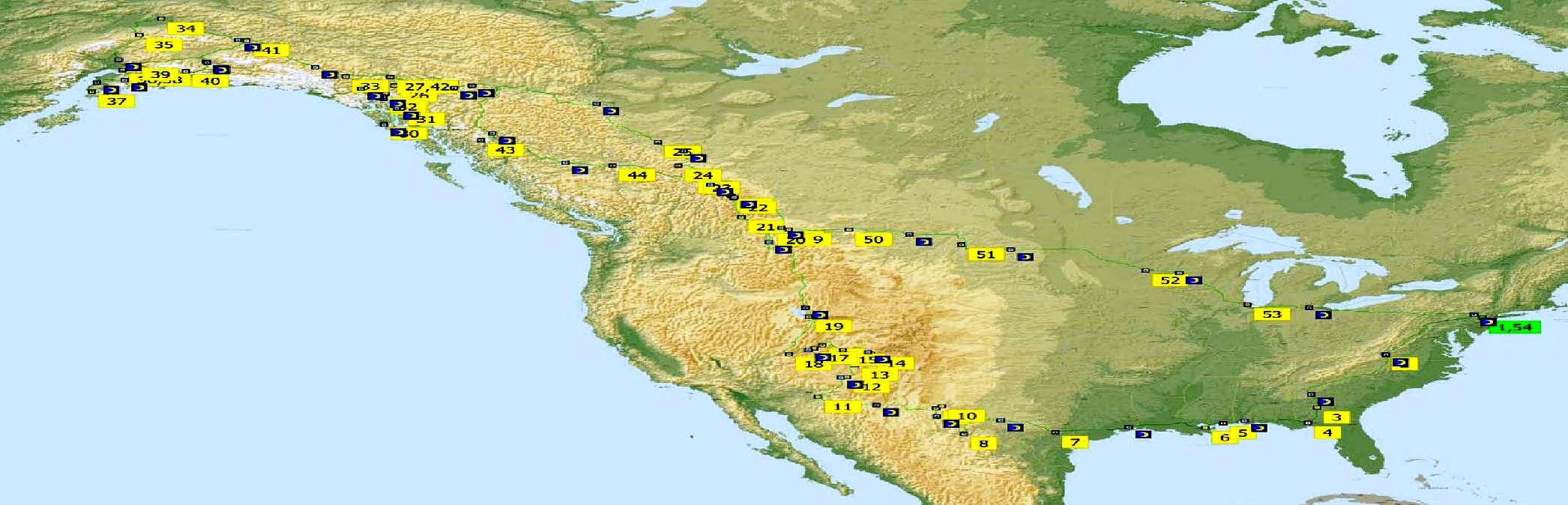
From Stewart, Hyder, and the Cassier Highway, we are driving east and south...heading towards Prince George and Jasper NP. From Jasper NP we plan to head south to Glacier NP in Montana, and then start heading due east through Montana, North Dakota and Minnesota, and then down to Wisconsin, Illinois, and onto New Jesrey.
Since we left last January, we have driven a little over 10,000 miles ----and now we only have 3000 miles to go before we are back in Bedminster!
Bruce and Sara--Travels in 2008 (Opening Page)
Jan to April 2008---The SAM Shortline in Cordele, GA
April 1st to April 13, 2008---Driving from GA to Big Bend NP, TX
April 14 to April 23, 2008---Driving from Carlsbad Caverns NP to Mesa Verde NP
April 24 to May 4, 2008---Snow in Yellowstone, a Change in Plans, and a Detour to Zion NP
May 4 to May 11, 2008---From Zion NP to Salt Lake City and Glacier,
and then to Canada
May 12 to May 16, 2008---Kootenay, Banff, Yoho and Jasper National Parks Yoho)
May 16 to May 25, 2008---The Alaskan Highway---From Dawson Creek, British Columbia to Skagway, Alaska
May 25 to June 7, 2008---Southeast Alaska--Skagway, Sitka, Juneau, and Haines
June 8 to June 21, 2008---Haines Junction, Fairbanks, and Denali
June 22 to July 4, 2008---The Kenai Peninsula: Portgage, Seward, and Homer
July 5 to July 22, 2008---Whittier, Anchorage, Palmer, Valdez
Prince William Sound and Wrangell-St. Elias NP
July 23 to July 28, 2008---Driving Down the Cassier Highay: Steward and Hyder
If you want to write to or contact Bruce and Sara, their email addresses are:
bruce@schundler.net and/or
sara@schundler.net
Return to opening page The Schundler Family
Note: If you have any difficulty downloading or reading these pages, please let me know. Apparenty on some screens, some the the text was running over onto the pictures, and so I have changed the pages in the hope of avoiding this. Please let me know if you have any problems!
bruce@schundler.net